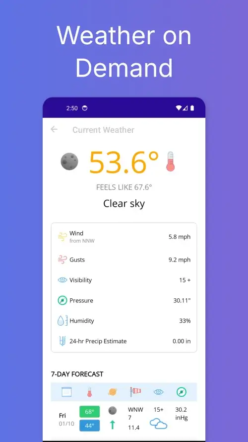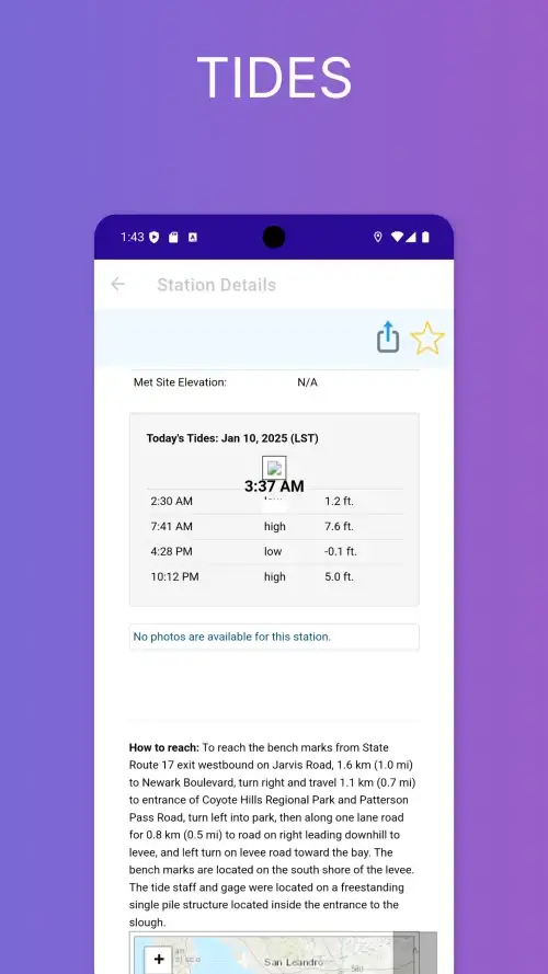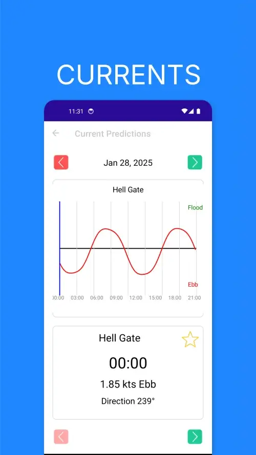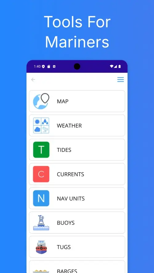

Mariner Studio: Tide Maps AIS is a navigation tool designed for individuals who spend time on the water, providing them with the information they need to plan and execute their trips safely and effectively.
The app offers a range of features, including the ability to track vessels using AIS data, monitor ship movements in real time, and view detailed vessel information, making it a valuable resource for those who need to stay informed about maritime activity.
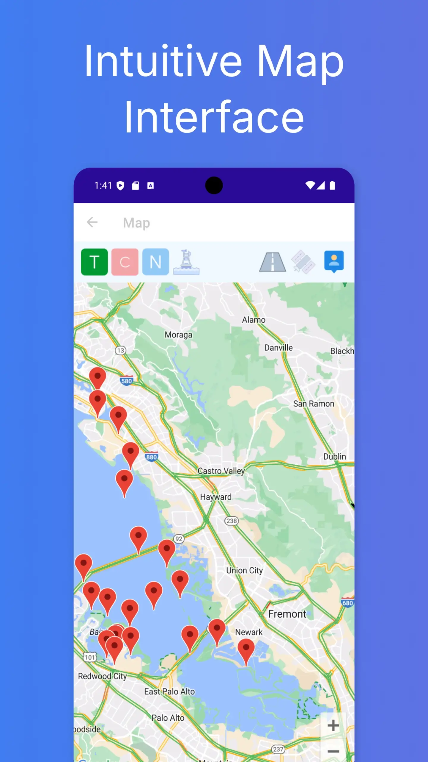
Mariner Studio: Tide Maps AIS also features high-quality marine maps that are designed to be clear and easy to use, allowing users to zoom, pan, and explore coastal regions, harbors, and offshore areas with ease.
The app is suitable for both professionals and hobbyists, including boating enthusiasts, fishermen, sailors, and kayakers, and is designed to provide a reliable and accurate mapping experience to support their journeys.